
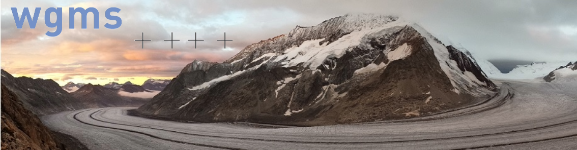
The World Glacier Monitoring Service (WGMS) gathers, standardises, and shares long‑term glacier data so scientists, policymakers, and communities can understand climate change, manage water resources, and plan for sea‑level impacts.
Quick Answer
The World Glacier Monitoring Service is an international network that collects measurements of glacier mass balance, length change, and ice volume from thousands of glaciers worldwide. By analysing these data, WGMS provides a global indicator of climate warming, informs water‑security assessments, and underpins sea‑level rise projections. While the overall trend of glacier loss is clear, uncertainties remain regarding regional melt rates and future glacier response under different emission scenarios.
Key Takeaways
- WGMS coordinates a standardized, open‑access database of glacier observations from more than 130 countries.
- Long‑term mass‑balance records are the most direct evidence of the Earth’s energy imbalance.
- Glacier trends affect freshwater availability for half a billion people and contribute about 0.8 mm per year to global sea‑level rise.
- Data are used by the IPCC, UN agencies, and national water‑management authorities.
- Uncertainties persist in remote regions, in glacier dynamics under warming, and in projecting future melt.
What Is the World Glacier Monitoring Service?
The World Glacier Monitoring Service (WGMS) is a collaborative programme founded in 1985 under the International Association of Cryospheric Sciences. Its core mission is to compile and disseminate consistent, quality‑controlled observations of glacier change – including mass balance (gain or loss of ice), length fluctuations, and volume estimates. WGMS does not operate its own field stations; instead, it aggregates data submitted by national glacier inventories, research institutions, and citizen‑science projects, applying uniform data‑processing protocols.
By providing a single, comparable dataset, WGMS distinguishes itself from isolated national surveys and enables global assessments of cryospheric health. The service is a key input for climate‑change assessments, water‑resource planning, and hazard‑risk analyses.
How Does WGMS Work?
Data Collection and Standardisation
- Field Measurements: Researchers measure glacier surface elevation (using GPS or GNSS), stake‑based mass balance, and terminus position. Remote‑sensing platforms (e.g., Sentinel‑1 radar, Landsat optical imagery) supplement ground data, especially for inaccessible glaciers.
- Data Submission: National glacier services submit their observations to WGMS through an online portal. Submissions follow the WGMS Standard Data Format, ensuring uniform units and metadata.
- Quality Control: WGMS staff apply automated checks (e.g., range checks, temporal consistency) and expert review to flag outliers and harmonise methods.
Data Processing and Archiving
- Validated records are stored in the WGMS Glacier Database, which is freely downloadable under a Creative Commons licence.
- Derived products – such as annual global mass‑balance totals or regional melt trends – are generated using statistical aggregation techniques.
Dissemination and Use
WGMS publishes annual reports, provides data visualisation tools, and contributes to major assessments (e.g., the Intergovernmental Panel on Climate Change). Users can query the database via web interfaces or APIs, enabling integration into climate models, water‑management tools, and educational resources.
What Does the Evidence Show?
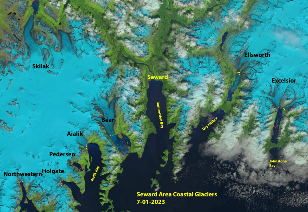
Long‑term mass‑balance records, a core WGMS product, reveal that worldwide glacier mass has declined by roughly 1 % per year since the 1960s (IPCC AR6, 2021). Satellite‑derived volume change estimates indicate a loss of about 267 ± 23 gigatonnes of ice per year between 2000 and 2020, contributing 0.8 mm ± 0.1 mm to global sea‑level rise (NASA GRACE, 2022). Regional analyses show the strongest retreat in the Himalaya, Andes, and Alaska, while some high‑altitude glaciers in the European Alps exhibit temporary stabilisation during brief cool periods.
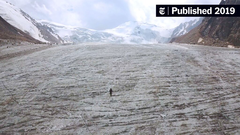
These findings are corroborated by independent national glacier inventories and by melt‑runoff studies that link observed glacier shrinkage to reduced summer river discharge in the Hindu Kush‑Karakoram region.
Main Causes or Drivers
Direct Climate Forcing
Rising air temperatures increase surface melt, while reduced snowfall diminishes accumulation. The IPCC attributes >90 % of the observed glacier retreat since the mid‑20th century to anthropogenic greenhouse‑gas forcing.
Secondary Factors
- Black Carbon Deposition: Soot from combustion darkens ice surfaces, lowering albedo and accelerating melt – documented in Tibetan glaciers (Science Advances, 2019).
- Changes in Precipitation Patterns: Shifts toward rain rather than snow at glacier elevations reduce mass gain.
- Glacier Dynamics: Thinning can trigger increased flow speed, leading to further ice loss, a feedback observed in Greenland outlet glaciers.
Environmental and Human Impacts
Environmental Impacts
Glacier melt contributes directly to sea‑level rise, which threatens low‑lying coastal ecosystems and accelerates coastal erosion. Freshwater input from melting glaciers also influences ocean stratification, potentially affecting marine circulation patterns such as the Atlantic Meridional Overturning Circulation.
Human Health and Social Impacts
More than 300 million people depend on glacier‑fed rivers for drinking water, irrigation, and hydropower. Declining glacier volume can lead to seasonal water shortages, affecting agriculture and increasing competition for water resources. In the Andes, reduced glacier runoff has already been linked to lower crop yields and heightened food‑security risks.
Economic and Infrastructure Impacts
Glacier retreat raises the risk of glacial lake outburst floods (GLOFs). Recent GLOFs in the Himalaya have caused loss of life and damaged roads, underscoring the need for early‑warning systems informed by WGMS data.
Regional Differences
Glacier behaviour varies with climate zone and local topography. In the polar Arctic, many tidewater glaciers are retreating rapidly due to ocean warming, while some temperate alpine glaciers in Europe experience short periods of advance during cooler summers. In the Southern Hemisphere, the Patagonian ice fields have lost an estimated 2 % of their area per decade (IPCC AR6, 2021), whereas New Zealand’s small cirque glaciers show mixed trends.
What Scientists Know With High Confidence
What Scientists Know With High Confidence
- Global glacier mass has been decreasing steadily for at least six decades.
- Glacier loss is a reliable indicator of ongoing climate warming.
- The contribution of glaciers to sea‑level rise is measurable and increasing.
- Millions of people rely on glacier‑derived freshwater, and reductions in meltwater are already affecting water security in several regions.
What Remains Uncertain
What Remains Uncertain
Key uncertainties include the precise timing of glacier disappearance in tropical mountain ranges, the sensitivity of glacier dynamics to extreme precipitation events, and the magnitude of future melt under high‑emission scenarios. Remote regions such as the Russian Arctic lack dense observation networks, limiting confidence in regional estimates.
Common Misconceptions
Common Misconceptions
Misconception: All glaciers are disappearing at the same rate.
Reality: Retreat rates differ widely; high‑latitude glaciers in Greenland lose mass faster than many mid‑latitude alpine glaciers, and a few isolated glaciers have shown short‑term advances.
Misconception: Glacier melt only affects sea level.
Reality: Meltwater also supplies vital freshwater for agriculture, drinking, and hydropower, especially in arid downstream basins.
Misconception: Satellite images replace the need for ground measurements.
Reality: Satellite observations provide broad coverage, but ground‑based mass‑balance data are essential for calibrating remote‑sensing algorithms and understanding seasonal processes.
Solutions and Limitations
Addressing glacier loss requires both mitigation of global warming and adaptation to inevitable changes. Mitigation actions – rapid reduction of CO₂ emissions, phasing out black‑carbon sources, and protecting high‑altitude forests – can slow temperature rise, thereby reducing melt rates. However, even under stringent mitigation, some glacier loss is projected to continue due to thermal inertia.
Adaptation strategies include:
- Developing diversified water‑storage systems (e.g., reservoirs, managed aquifer recharge) to buffer seasonal melt variability.
- Implementing early‑warning and risk‑mapping for GLOFs, informed by WGMS monitoring data.
- Promoting water‑use efficiency in agriculture and industry to reduce demand on glacier‑fed rivers.
Each strategy carries trade‑offs: large reservoirs can disrupt ecosystems, and early‑warning systems require sustained funding and community engagement.
What Individuals, Communities, and Governments Can Do
What Individuals Can Do
- Support organisations that fund glacier research and climate mitigation.
- Reduce personal carbon footprints – for example, by limiting air travel and choosing renewable energy where available.
- Educate oneself and others about the link between everyday emissions and glacier health.
What Communities and Organizations Can Do
- Participate in citizen‑science glacier monitoring programs that feed data to WGMS.
- Develop local water‑management plans that account for declining glacier contributions.
- Integrate GLOF risk assessments into land‑use planning and infrastructure design.
What Governments Can Do
- Adopt and fund national glacier inventories that conform to WGMS standards.
- Incorporate WGMS data into climate‑adaptation policies, especially for water‑security and disaster‑risk reduction.
- Commit to ambitious emissions‑reduction targets consistent with limiting global warming to 1.5 °C, as outlined by the Paris Agreement.
Synthesis
The World Glacier Monitoring Service provides the most comprehensive, standardized view of how glaciers worldwide respond to a warming climate. Strong evidence shows that glaciers are losing mass, affecting sea level and freshwater availability for millions. While uncertainties remain in regional projections and glacier dynamics, the data collected by WGMS are essential for informed mitigation and adaptation actions. Continued investment in monitoring, emission reductions, and resilient water management will determine how societies cope with the ongoing transformation of Earth’s frozen water reservoirs.
Frequently Asked Questions
What is the main purpose of the World Glacier Monitoring Service?
The World Glacier Monitoring Service (WGMS) collects, standardises, and shares long‑term observations of glacier mass balance, length change, and volume from around the world to track climate change and support water‑resource and sea‑level planning.
How does WGMS ensure that data from different countries are comparable?
WGMS requires all contributors to use its Standard Data Format, applies automated quality checks, and conducts expert reviews, which together create a uniform, quality‑controlled global glacier database.
What are the most important environmental impacts of glacier loss?
Glacier loss contributes directly to sea‑level rise, alters ocean circulation, reduces freshwater availability for millions of people, and increases the risk of glacial lake outburst floods that can damage infrastructure.
Why is there still uncertainty about future glacier change?
Uncertainties stem from limited observations in remote regions, incomplete knowledge of glacier dynamics under extreme warming, and varying regional climate responses, making precise future melt projections challenging.
What actions can governments take to support glacier monitoring and adaptation?
Governments can fund national glacier inventories that follow WGMS standards, integrate WGMS data into climate‑adaptation policies for water security and disaster risk, and commit to strong emissions‑reduction targets to limit further glacier retreat.




Leave a Comment