
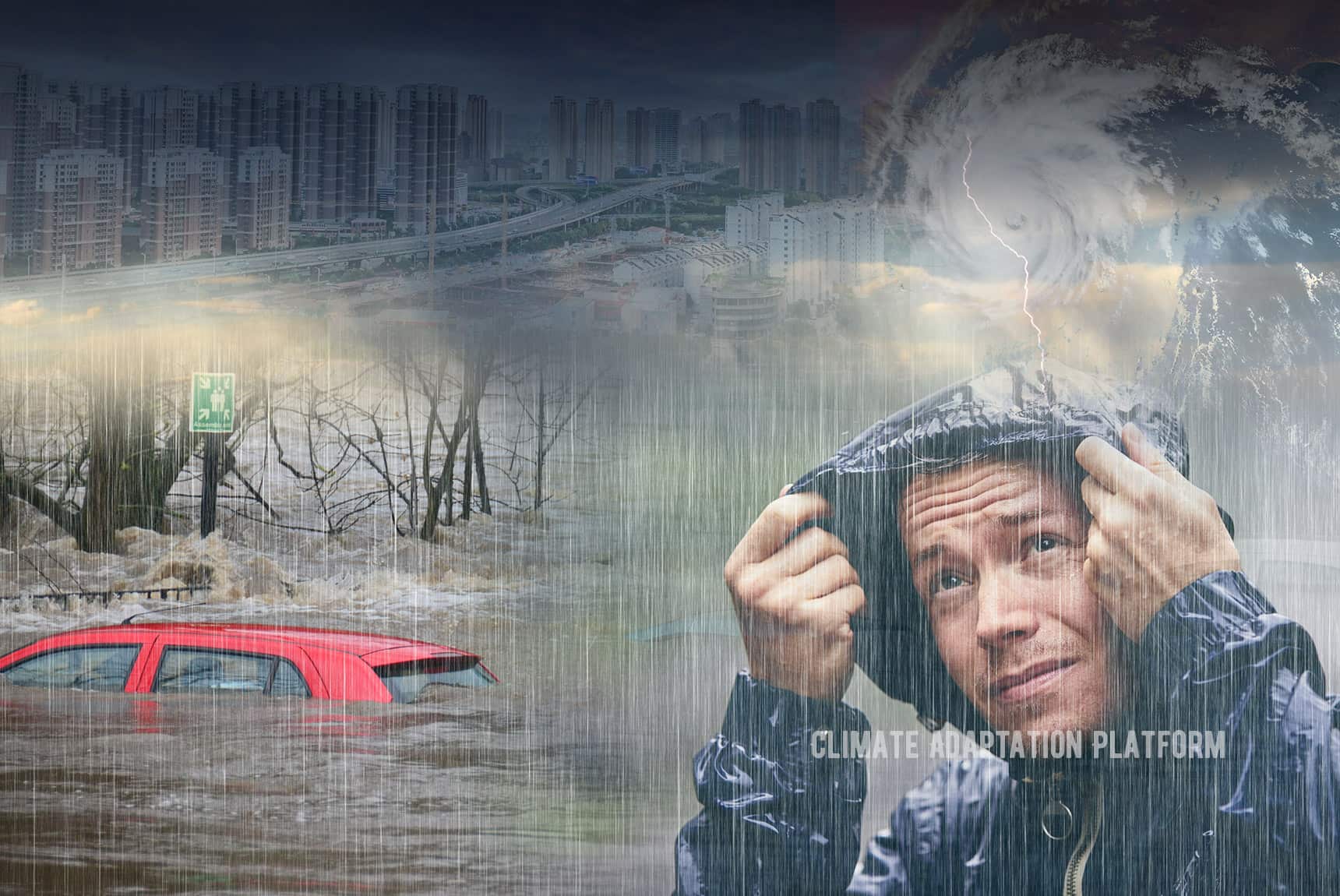
The Auckland floods illustrate how climate‑driven extreme rainfall is becoming more frequent and intense, exposing vulnerabilities in urban infrastructure, public health, and social equity while underscoring the need for evidence‑based adaptation.\
Quick Answer
Extreme rainfall events occur when a warm atmosphere holds more moisture, leading to heavier downpours that can overwhelm drainage systems. Scientific assessments, such as the IPCC Sixth Assessment Report, link the increasing frequency of such events to global warming. In Auckland, recent floods caused widespread flooding, infrastructure damage, and social disruption, highlighting both the physical risk and the importance of resilient urban planning. Uncertainty remains around the precise magnitude of future changes at the city scale, but the trend toward more intense rainfall is well supported.
Key Takeaways
- Climate change raises atmospheric moisture, making extreme rainstorms more likely worldwide.
- Auckland’s storm‑water infrastructure was designed for historic rainfall patterns and is now undersized for projected extremes.
- Vulnerable communities bear disproportionate impacts, revealing climate‑justice dimensions.
- Nature‑based solutions, green infrastructure, and updated design standards can reduce flood risk.
- High‑confidence science shows a clear link between global warming and increased heavy‑rain events, though local projections carry uncertainties.
What Is Auckland Floods Highlight the Growing Risk of Climate‑Driven Extreme Rainfall?
The phrase refers to a pattern in which severe flooding in Auckland, New Zealand, is increasingly linked to climate‑induced shifts in rainfall intensity. It encompasses the specific flood events, the underlying meteorological changes, and the broader societal and environmental implications. Unlike isolated weather incidents, this concept frames the floods as evidence of a systemic risk that is expected to grow as global temperatures rise.
How Does It Work?
Atmospheric Warming Increases Moisture Capacity
Warmer air can hold roughly 7 % more water per degree Celsius of warming (Clausius‑Clapeyron relation). As the planet’s average temperature climbs, the atmosphere routinely carries more moisture, setting the stage for heavier precipitation when conditions trigger condensation.
Enhanced Storm Dynamics
Climate models indicate that warming can intensify low‑pressure systems and slow their forward motion, allowing storms to dump larger volumes of rain over a single location. In temperate regions like New Zealand, this can translate into rainfall rates that exceed design thresholds for urban drainage.
Urban Drainage and Land‑Use Interactions
City surfaces—concrete, roads, rooftops—are largely impermeable. When rainfall intensity surpasses the capacity of storm‑water pipes, water accumulates on streets, enters basements, and overwhelms culverts. Historical land‑use changes that replaced wetlands with development further reduce natural water storage.
Feedback Loops
Repeated flooding can degrade soil structure and erode riverbanks, lowering the landscape’s ability to absorb future storms. Conversely, investment in green infrastructure can restore some of this capacity, creating a negative feedback that mitigates risk.
What Does the Evidence Show?
Long‑term monitoring by the New Zealand National Climate Database shows a statistically significant upward trend in daily maximum rainfall for the Auckland region since the 1950s. Attribution studies published in peer‑reviewed journals (e.g., Nature Climate Change, 2022) find that the probability of a 100‑year rain event occurring in any given year has roughly doubled under a 1.5 °C warming scenario.
The Intergovernmental Panel on Climate Change (IPCC) Fifth Assessment Report (2014) and its Sixth Assessment (2022) both conclude with high confidence that extreme precipitation events are becoming more common in most mid‑latitude regions, including New Zealand. Regional climate‑model ensembles from the New Zealand Climate Change Research Centre project a 20‑30 % increase in the frequency of >50 mm h⁻¹ events by 2050 under medium‑emission pathways.
Main Causes or Drivers
Direct Causes
- Intense convective storms fueled by higher atmospheric moisture.
- Stationary or slow‑moving weather systems that concentrate rain over Auckland.
Underlying Drivers
- Global greenhouse‑gas emissions raising average temperatures.
- Ocean‑temperature rise around the Tasman Sea, enhancing moisture fluxes.
- Urban expansion that replaces permeable land with impermeable surfaces.
Contributing Factors
- Aging storm‑water infrastructure designed for lower design storms.
- Loss of natural floodplains and wetlands that historically absorbed excess water.
Environmental and Human Impacts
Environmental Impacts
Frequent flooding alters riverine habitats, increases sediment loads, and can introduce pollutants into coastal waters, affecting marine biodiversity. Wetland degradation reduces ecosystem services such as water filtration and carbon sequestration.
Human Health and Social Impacts
Standing water creates breeding grounds for mosquitoes, raising the risk of vector‑borne diseases. Displacement of residents, especially in low‑income neighborhoods, can exacerbate mental‑health stressors and limit access to essential services.
Economic and Infrastructure Impacts
Road closures, damage to homes, and interruptions to utilities generate direct repair costs estimated in the tens of millions of New Zealand dollars per event. Business interruptions add indirect economic losses, while insurance premiums rise in high‑risk zones.
Regional Differences
While Auckland experiences temperate‑zone rainfall, similar trends are observed in other mid‑latitude coastal cities such as Vancouver, Seattle, and Melbourne. However, the magnitude of projected increases varies with local sea‑surface temperatures, topography, and urban density. In contrast, arid regions may see fewer extreme rain events but face heightened flash‑flood risk due to sparse vegetation.
What Scientists Know With High Confidence
- Warmer air holds more moisture, leading to heavier precipitation when storms occur.
- Global climate models consistently project an increase in the frequency of extreme rainfall events for mid‑latitude regions.
- Historical rain‑gauge records in Auckland show a clear upward trend in maximum daily rainfall over the past six decades.
- Urban drainage systems built to older design standards are increasingly inadequate for projected extreme events.
What Remains Uncertain
Key uncertainties include the exact rate at which extreme‑rain frequency will accelerate at the city scale, the influence of future land‑use changes on runoff, and the effectiveness of specific green‑infrastructure designs under varying storm intensities. Improved high‑resolution climate modelling and expanded monitoring networks are needed to narrow these gaps.
Common Misconceptions
Misconception: The floods were a one‑off weather event.
Reality: While each storm is unique, the statistical trend of more intense rainfall is supported by long‑term observations and climate‑model projections.
Misconception: Only climate change matters.
Reality: Climate change increases the likelihood of extreme rain, but local factors such as drainage design and land‑use practices also determine flood severity.
Misconception: Building higher levees solves the problem.
Reality: Hard engineering can shift risk downstream and often fails under extreme events; integrating green infrastructure provides both flood mitigation and co‑benefits like biodiversity.
Solutions and Limitations
Effective responses blend structural upgrades, nature‑based measures, and policy reforms. Key strategies include:
- Green Infrastructure: Rain gardens, permeable pavements, and green roofs absorb runoff, but require regular maintenance and may be less effective during prolonged, city‑wide storms.
- Storm‑water Network Modernisation: Enlarging pipes and adding detention basins increase capacity, yet involve high capital costs and long construction timelines.
- Land‑Use Planning: Protecting floodplains and limiting development in high‑risk zones reduces exposure, but can face political resistance and competing housing demands.
- Early‑Warning Systems: Enhanced forecasting improves preparedness, though predictive skill for localized extreme rain remains limited.
What Individuals, Communities, and Governments Can Do
What Individuals Can Do
- Install rain barrels or small‑scale permeable surfaces on private property.
- Participate in local flood‑risk mapping workshops to understand neighborhood vulnerabilities.
- Support community groups advocating for green‑space preservation.
What Communities and Organizations Can Do
- Develop neighbourhood‑level emergency response plans that include evacuation routes and shelter locations.
- Partner with municipalities to pilot nature‑based solutions in public spaces.
- Conduct regular maintenance of shared drainage assets, such as clearing debris from gutters.
What Governments Can Do
- Integrate climate‑risk assessments into all new infrastructure approvals.
- Allocate funding for retrofitting existing storm‑water systems with climate‑resilient designs.
- Enact building‑code updates that require permeable surfaces for new developments.
- Promote data sharing between meteorological agencies and urban planners to improve predictive modelling.
Looking Ahead
The Auckland floods serve as a tangible reminder that climate‑driven extreme rainfall is moving from rare to recurrent. High‑confidence science links rising temperatures to heavier downpours, while local vulnerabilities amplify impacts. Addressing the challenge demands a mix of engineering upgrades, nature‑based solutions, equitable planning, and robust governance. By acknowledging uncertainties, targeting high‑impact actions, and fostering inclusive resilience, Auckland—and cities worldwide—can better safeguard people, ecosystems, and economies against a wetter future.
Frequently Asked Questions
What defines an extreme rainfall event?
An extreme rainfall event is a precipitation episode that exceeds the historical 95th percentile for a given location, often measured as a high amount of rain falling within a short period, such as >50 mm in one hour.
How does climate change increase the risk of flooding in Auckland?
Climate change warms the atmosphere, allowing it to hold more moisture. This leads to heavier downpours when storms form, and the increased intensity can overwhelm Auckland’s storm‑water system, raising flood risk.
What evidence links recent Auckland floods to global warming?
Long‑term rain‑gauge records show a rising trend in maximum daily rainfall, and attribution studies published in peer‑reviewed journals find that the probability of a 100‑year rain event has roughly doubled under a 1.5 °C warming scenario.
Which communities are most affected by the floods?
Low‑income neighbourhoods with limited resources and older housing tend to experience greater damage and longer displacement because they often lack flood‑resilient infrastructure and have fewer means to recover.
What practical actions can cities take to reduce flood risk?
Cities can upgrade storm‑water networks, protect and restore floodplains, implement green infrastructure like rain gardens and permeable pavements, and integrate climate‑risk assessments into all new development approvals.






Leave a Comment