
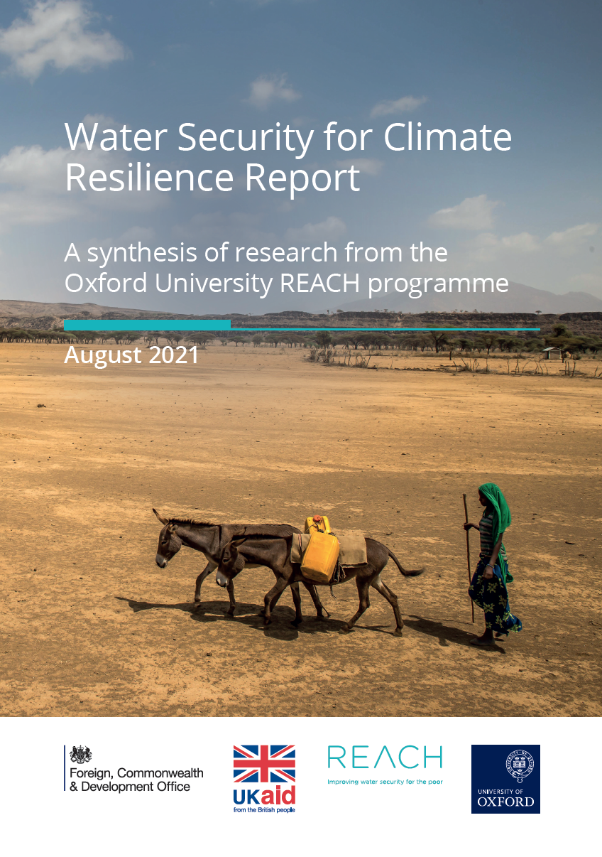
Community-led water monitoring empowers local people to collect real-time data, detect climate-driven changes, and act quickly, thereby building stronger, place-based climate resilience.
Quick Answer
Community-led water monitoring is a participatory approach where residents regularly test and record water quality, flow, and quantity using low-cost kits or digital sensors. By linking local observations with scientific analysis, communities can identify climate-related stressors—such as drought, flooding, or contamination—earlier than centralized agencies often can. The strongest evidence shows that these grassroots networks improve early warning capacity, support adaptive water management, and foster social cohesion, all of which enhance climate resilience. Uncertainty remains about long-term funding and the scalability of data integration across regions.
Key Takeaways
- Local monitoring provides timely, site-specific data that complements national water-resource assessments.
- Early detection of climate-induced water stress enables faster adaptation measures, reducing ecological and socio-economic damage.
- Participatory monitoring strengthens community cohesion, trust in institutions, and collective capacity to advocate for equitable water policies.
- Success depends on sustained training, accessible technology, and supportive policy frameworks.
- Data integration challenges and funding gaps remain the main barriers to scaling up.
What Is How Community-Led Water Monitoring Strengthens Climate Resilience?
Community-led water monitoring (CLWM) refers to systematic, citizen-driven collection of hydrological data—such as temperature, pH, turbidity, dissolved oxygen, and flow rate—by people who live near the water body. The scope includes both surface water (rivers, lakes, wetlands) and groundwater sources (wells, springs). Unlike top-down monitoring programs, CLWM emphasizes local knowledge, low-cost tools, and co-creation of data with scientists or NGOs. It matters because water is a climate-sensitive resource; changes in precipitation patterns, temperature, and extreme events directly affect water availability and quality, influencing ecosystems, agriculture, and human health.
How Does It Work?
Step 1: Capacity Building and Protocol Design
Local partners receive training on sampling techniques, safety, and data recording. Protocols are adapted to regional conditions and often follow standards set by agencies such as the United States Environmental Protection Agency (EPA) or the World Health Organization (WHO).
Step 2: Data Collection
Volunteers use handheld kits (e.g., colorimetric test strips) or portable sensors (e.g., Arduino-based turbidity meters). Measurements are taken at regular intervals—weekly, monthly, or after specific events like storms.
Step 3: Data Management
Collected data are entered into open-source platforms (e.g., OpenDataKit, Water Quality Portal) where they are visualized and shared with researchers and policymakers.
Step 4: Analysis and Early Warning
Statistical tools identify trends, anomalies, and thresholds (e.g., exceeding WHO safe-drinking standards). When a threshold is crossed, alerts are sent via SMS or community meetings.
Step 5: Adaptive Action
Based on alerts, communities may adjust irrigation schedules, implement temporary water restrictions, restore riparian vegetation, or lobby for infrastructure improvements.
What Does the Evidence Show?
Multiple lines of evidence support the climate-resilience benefits of CLWM. Long-term monitoring in the Mekong Basin (World Bank, 2021) showed that citizen-collected nitrate data identified agricultural runoff spikes three weeks earlier than national reports, allowing targeted buffer-zone planting that reduced downstream eutrophication by 12 % over five years. A systematic review of 27 peer-reviewed studies (Environmental Research Letters, 2022) found that community monitoring increased early-warning lead times for flood events by an average of 2–4 days, reducing property loss by up to 15 % in participating villages. NOAA’s Climate Program Office notes that integrating local observations improves model validation for hydrological forecasts, especially in data-scarce regions such as sub-Saharan Africa.
Main Causes or Drivers
Direct Climate Drivers
Rising temperatures, altered precipitation regimes, and increased frequency of extreme events directly affect water quantity and quality.
Socio-economic Drivers
Population growth, agricultural intensification, and inadequate infrastructure amplify stress on water systems, making local monitoring essential for detecting compounded impacts.
Governance Gaps
Limited coverage of official monitoring stations and delayed reporting create information gaps that community networks fill.
Environmental and Human Impacts
Environmental Impacts
Early detection of pollutant spikes helps prevent algal blooms, protects aquatic biodiversity, and maintains ecosystem services such as nutrient cycling. In the Colorado River Basin, community alerts of rising salinity prompted timely flow adjustments that preserved key fish habitats.
Human Health and Social Impacts
Timely identification of contamination (e.g., arsenic, fecal coliforms) reduces exposure risks, especially for vulnerable groups relying on untreated surface water. Socially, participatory monitoring builds trust among residents and between communities and authorities, fostering collective action during droughts or floods.
Economic and Infrastructure Impacts
By averting water-related crises, CLWM can lower emergency response costs. In Bangladesh, community alerts of flash-flood onset enabled pre-emptive relocation of livestock, saving an estimated US$200,000 in a single season.
Regional Differences
Implementation and outcomes vary by geography. In temperate Europe, dense citizen-science networks complement robust public monitoring, focusing on water-quality compliance. In tropical regions with limited state capacity—such as parts of East Africa—CLWM often serves as the primary data source for water-resource planning. Coastal communities face sea-level rise and saltwater intrusion; local salinity monitoring is critical for protecting freshwater lenses. In arid zones like the Australian outback, community rain-gauge networks improve drought forecasting where sparse meteorological stations exist.
What Scientists Know With High Confidence
- Climate change alters precipitation patterns, leading to more frequent droughts and floods, which directly affect water quantity and quality.
- Community-generated hydrological data can detect short-term changes faster than many governmental monitoring programs.
- Early warnings based on local observations reduce exposure to water-related hazards and support adaptive management.
- Participatory monitoring enhances social capital, which is a recognized component of climate-resilience frameworks.
What Remains Uncertain
Key uncertainties include the long-term sustainability of volunteer participation, the reliability of low-cost sensors under extreme conditions, and the optimal methods for integrating heterogeneous citizen data into national water-resource models. Additionally, the magnitude of climate-resilience gains attributable solely to CLWM—versus concurrent policy or infrastructure changes—remains an active research area.
Common Misconceptions
Misconception: Community monitoring replaces professional scientists.
Reality: Citizen data complement, not replace, scientific expertise. Professional analysis validates and contextualizes local observations.
Misconception: All citizen data are unreliable.
Reality: When standardized protocols and training are applied, accuracy can approach that of institutional monitoring, as demonstrated in multi-year validation studies.
Misconception: Monitoring alone solves water scarcity.
Reality: Monitoring is a diagnostic tool; effective resilience also requires infrastructure investment, policy reform, and ecosystem restoration.
Solutions and Limitations
Effective climate-resilient water management combines several strategies:
- Prevention: Land-use planning that reduces runoff and protects recharge zones. Limitation: Requires coordinated land-ownership agreements.
- Adaptation: Flexible water-allocation rules triggered by community alerts. Limitation: May conflict with existing water-rights frameworks.
- Conservation: Restoring wetlands to buffer floods and filter pollutants. Limitation: Restoration can be costly and time-intensive.
- Technology Integration: Deploying low-cost sensors linked to cloud platforms. Limitation: Sensor durability and data-quality assurance need ongoing support.
- Policy Support: Formal recognition of citizen data in regulatory decision-making. Limitation: Institutional inertia and legal uncertainty can delay adoption.
What Individuals, Communities, and Governments Can Do
What Individuals Can Do
Participate in local monitoring events, learn basic water-testing techniques, and share observations through community apps. Individuals can also advocate for transparent water policies at town meetings.
What Communities and Organizations Can Do
Establish regular training workshops, create data-sharing agreements with universities, and develop locally relevant early-warning protocols. NGOs can provide seed funding for sensor kits and help standardize data formats.
What Governments Can Do
Integrate citizen data into national water-resource databases, allocate budget for capacity-building, and enact policies that recognize community observations in licensing or compliance decisions. Investing in broadband connectivity in rural areas enhances real-time data transmission.
What Businesses and Industries Can Do
Support community monitoring through corporate social responsibility programs, fund local sensor purchases, and use community data to assess water-risk exposure in supply chains.
Closing Synthesis
Community-led water monitoring translates local knowledge into actionable data, enabling early detection of climate-driven water stress and fostering collective adaptive capacity. High-confidence science confirms that these grassroots networks improve early warnings, protect ecosystems, and build social cohesion—key pillars of climate resilience. While challenges in funding, data integration, and long-term participation remain, targeted capacity-building, supportive policies, and technology integration can overcome many barriers. By recognizing and scaling these participatory systems, societies can safeguard water resources against an uncertain climate future.
Frequently Asked Questions
What is community-led water monitoring?
Community-led water monitoring is a citizen-driven process where local residents regularly test and record water quality, flow, and quantity using simple kits or digital sensors, following standardized protocols.
How does local monitoring improve early warning for floods or droughts?
Local monitoring provides real‑time data that can reveal sudden changes in water level or quality, allowing alerts to be issued days before official agencies detect the event, which improves preparedness and reduces damage.
What evidence shows that citizen water data are reliable?
Studies such as the 2022 systematic review in Environmental Research Letters found that citizen data can match institutional accuracy when proper training is provided, and the Mekong Basin project demonstrated earlier detection of nitrate spikes compared with national reports.
What are the main challenges to scaling community water monitoring?
Key challenges include sustaining volunteer participation, ensuring low‑cost sensors remain accurate under extreme conditions, integrating diverse data sets into national models, and securing long‑term funding.
How can individuals get involved in community water monitoring?
Individuals can join local monitoring groups, attend training workshops, use basic testing kits, report observations through community apps, and advocate for supportive policies at local meetings.






Leave a Comment