
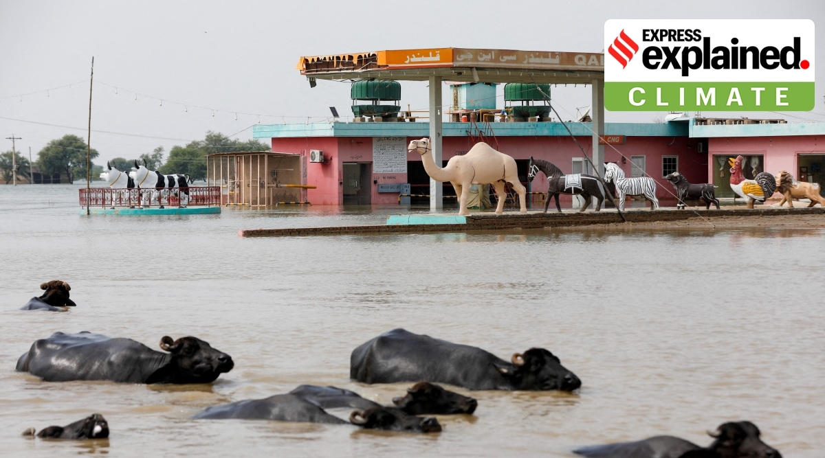
California’s atmospheric rivers are narrow, moisture‑rich air streams that deliver intense rain and snow, and climate change is amplifying their frequency and severity, reshaping ecosystems and human communities.
Quick Answer
Atmospheric rivers are long, narrow corridors of water vapor that originate over the Pacific Ocean and transport the equivalent of the Amazon River’s flow toward the West Coast. When these streams encounter the Sierra Nevada or coastal ranges, the air is forced upward, cooling and condensing into heavy precipitation. A warming climate increases sea‑surface evaporation, allowing each river to carry up to 7% more moisture per degree Celsius of warming, which raises the odds of extreme rain‑on‑snow events. The most consequential impact is heightened flood risk for California’s cities, farms, and ecosystems, though scientific confidence varies on the exact future frequency of the most intense events.
Key Takeaways
- Atmospheric rivers are a primary source of California’s winter precipitation, supplying 30‑50% of the state’s annual water budget.
- Warmer oceans boost atmospheric moisture, making rivers stronger and increasing the probability of extreme rainfall.
- Heavy rain can trigger flash floods, landslides, and infrastructure failures, while also delivering essential snowpack for summer water supply.
- High‑confidence findings include the physical link between temperature rise and atmospheric moisture capacity.
- Uncertainties remain around how climate change will alter the frequency of the most severe atmospheric‑river events.
What Is California’s Atmospheric Rivers: Climate Change and Extreme Rainfall Explained?
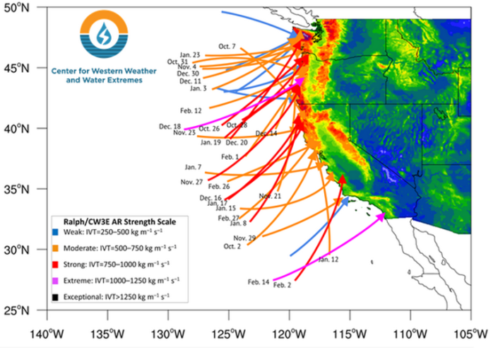
An atmospheric river (AR) is a narrow (typically 400–600 km wide) but extremely long (often >2,000 km) filament of moist air that moves through the mid‑troposphere. In California, the most notable ARs are the “Pineapple Express,” which draws moisture from the tropical Pacific near Hawaii, and the “Winter Storm Track” that follows the jet stream across the mid‑latitudes. These streams are not storms themselves; they are carriers of water vapor that, when forced over mountains, release precipitation ranging from rain to deep snow.
The term differs from “storm” because an AR can exist without strong surface winds or thunderstorm activity. It is also distinct from “monsoon” systems, which are seasonally driven by large‑scale land‑sea temperature contrasts, whereas ARs are primarily driven by oceanic evaporation and atmospheric dynamics.
How Does It Work?
1. Moisture Generation Over the Ocean
Warm sea‑surface temperatures increase evaporation. According to the World Meteorological Organization, the evaporation rate over the North Pacific has risen by roughly 2% per decade since the 1980s, adding more water vapor to the lower atmosphere.
2. Transport by Upper‑Level Winds
Strong westerly jet streams, steered by the Pacific‑North American pattern, funnel this vapor eastward. The Coriolis force helps maintain the narrow, coherent structure of the river.
3. Orographic Lifting
When the moist air encounters the Sierra Nevada or coastal ranges, it is forced upward (orographic lift). The temperature drops at the dry‑adiabatic lapse rate (~9.8 °C km⁻¹), causing condensation and precipitation.
4. Precipitation Release
If the elevation is below the freezing level, rain falls; above it, snow accumulates. The resulting precipitation can exceed 500 mm (20 in) in 24 hours, as documented in the 2017 and 2023 events by NOAA.
What Does the Evidence Show?
Long‑term monitoring by the National Oceanic and Atmospheric Administration (NOAA) shows that atmospheric rivers have contributed, on average, 30‑50% of California’s total annual precipitation since the 1980s. A 2022 assessment by the Intergovernmental Panel on Climate Change (IPCC) notes that a warmer atmosphere holds about 7% more moisture per degree Celsius, a relationship confirmed by satellite observations (e.g., NASA’s Aqua satellite) and surface radiosonde data.
Attribution studies using large‑ensemble climate models (e.g., CMIP6) indicate that the probability of an AR delivering >300 mm of rain in a single event has increased by roughly 30% in the 1990–2020 period compared with the 1950–1970 baseline. Field investigations in the Sierra Nevada have linked higher snowpack variability to AR frequency, supporting the view that ARs are a key driver of both drought and flood cycles.
Main Causes or Drivers
Direct Physical Drivers
- Sea‑surface temperature rise, which boosts evaporation.
- Strengthening of the mid‑latitude jet stream, influencing AR trajectories.
Underlying Climate Drivers
- Anthropogenic greenhouse‑gas emissions causing global warming (IPCC, 2021).
- Changes in Pacific Ocean heat content, influencing the intensity of the “Pineapple Express.”
Amplifying Factors
- Land‑use changes that reduce natural infiltration, increasing runoff.
- Aging drainage infrastructure not designed for modern precipitation extremes.
Environmental and Human Impacts
Environmental Impacts
- Rapid snowmelt can cause alpine stream flooding, eroding riverbanks and altering habitat for salmonids.
- Intense rain events increase soil erosion on hillsides, reducing forest stability and carbon storage.
- Excess nutrient runoff from agricultural lands can trigger algal blooms in downstream reservoirs.
Human Health and Social Impacts
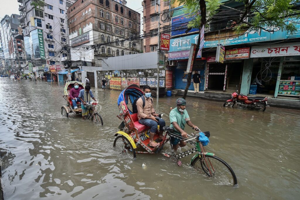
- Flash floods pose immediate injury risk and can displace communities, especially low‑income neighborhoods near river floodplains.
- Water‑borne pathogens proliferate after flooding, raising short‑term public‑health concerns.
Economic and Infrastructure Impacts
- Road closures, bridge damage, and power outages increase emergency‑response costs; the 2023 AR event incurred an estimated $1.2 billion in direct damages (California Department of Water Resources).
- Agricultural losses arise from both waterlogging of crops and delayed planting cycles.
Regional Differences
Coastal counties such as Santa Cruz and Monterey experience rain‑dominant AR impacts, with rapid runoff into the Pacific. In contrast, the Sierra Nevada receives a larger snow component, affecting downstream water storage. The Central Valley, situated in the rain shadow, often sees less direct precipitation but suffers amplified flood risk from tributary overflow. These patterns are consistent across multiple decades of NOAA precipitation maps.
What Scientists Know With High Confidence
- Atmospheric rivers are a major component of California’s water cycle, delivering up to half of annual precipitation.
- Warmer air holds more moisture; therefore, a warmer climate increases the potential water content of ARs.
- Orographic lifting over the Sierra Nevada is the primary mechanism that turns atmospheric moisture into heavy rain or snow.
- Extreme precipitation from ARs can cause flash flooding, landslides, and infrastructure damage.
What Remains Uncertain
Key uncertainties include how the frequency of the most extreme ARs (those delivering >400 mm in 24 hours) will change under different emissions pathways, and how land‑use change may interact with AR‑driven flooding. Model ensembles disagree on the magnitude of future AR intensity, partly because of limited representation of mesoscale dynamics. More high‑resolution observations and regional climate modeling are needed to narrow these gaps.
Common Misconceptions
Misconception: Atmospheric rivers are the same as hurricanes.
Reality: Hurricanes are tropical cyclones with a closed low‑pressure core and strong wind fields, whereas atmospheric rivers are linear bands of moisture without a cyclonic core. Their impacts differ in scale and geographic focus.
Misconception: All heavy rain in California is caused by climate change.
Reality: Natural variability, such as El Niño‑Southern Oscillation phases, also drives wet periods. Climate change amplifies the moisture content but does not create every individual storm.
Misconception: More rain from ARs always benefits water supplies.
Reality: While ARs replenish reservoirs, extreme events can cause runoff before water can be captured, leading to loss of usable water and increased flood damage.
Solutions and Limitations
Effective responses combine mitigation (reducing greenhouse‑gas emissions) with adaptation (preparing for heavier rainfall). Green infrastructure—such as expanded wetlands, permeable pavements, and riparian buffers—can attenuate runoff, but implementation costs and land‑availability constraints limit rapid rollout. Reservoir operation reforms that release water before major ARs can reduce flood risk, yet they require accurate forecasts and coordination among water agencies.
Advanced forecasting using satellite‑based water‑vapor imaging improves lead time, but forecast uncertainty remains, especially for localized flash‑flood hotspots. Climate‑resilient building codes and upgraded drainage systems can mitigate damage, but retrofitting existing infrastructure is expensive and politically challenging.
What Individuals, Communities, and Governments Can Do
What Individuals Can Do
- Install rain barrels and small‑scale green roofs to capture runoff for garden use.
- Support local water‑conservation ordinances and vote for policies that fund flood‑plain restoration.
What Communities and Organizations Can Do
- Develop community‑based flood‑early‑warning systems that leverage NOAA alerts.
- Partner with NGOs to restore riparian corridors, which naturally slow water flow.
What Governments Can Do
- Invest in modernizing storm‑drain networks to handle >300 mm/24 h events.
- Integrate AR projections into state water‑resource planning, ensuring reservoir releases align with forecasted peaks.
- Enact land‑use zoning that restricts development in high‑risk floodplains.
Closing Synthesis
California’s atmospheric rivers are a natural, moisture‑transporting phenomenon that supplies vital water but also poses severe flood hazards. Scientific evidence shows that a warming climate strengthens these rivers, increasing the likelihood of extreme rainfall. High‑confidence findings confirm the physical link between temperature, atmospheric moisture, and precipitation intensity, while uncertainties remain about the exact future frequency of the most catastrophic events. Solutions must blend emission reductions with robust adaptation measures—green infrastructure, upgraded drainage, and smarter water‑management policies—recognizing both their potential and their limits. By aligning scientific insight with practical action, California can better protect its ecosystems, economies, and communities from the growing challenge of atmospheric‑river‑driven extremes.
Frequently Asked Questions
What is an atmospheric river and how does it affect California’s weather?
An atmospheric river is a narrow, moisture‑laden band of air that transports water vapor from the Pacific Ocean toward the West Coast. When it rises over the Sierra Nevada or coastal ranges, the vapor condenses into heavy rain or snow, delivering up to half of California’s annual precipitation.
How does climate change influence the strength of atmospheric rivers?
Warmer ocean temperatures increase evaporation, adding more water vapor to the atmosphere. Because a warmer air column can hold about 7% more moisture per degree Celsius, atmospheric rivers can become richer in moisture, raising the probability of extreme rainfall events.
What are the main environmental impacts of intense atmospheric‑river events?
Intense ARs cause rapid snowmelt, flash flooding, landslides, and soil erosion. They can also lead to nutrient runoff that fuels algal blooms, and they disrupt habitats for fish such as salmon by altering stream flow and temperature.
What uncertainties remain about future atmospheric river activity?
Scientists are still uncertain about how often the most extreme ARs—those delivering over 400 mm of rain in 24 hours—will occur under different greenhouse‑gas emission scenarios. Model disagreements on mesoscale dynamics and limited high‑resolution observations contribute to this uncertainty.
What actions can individuals and governments take to reduce flood risk from atmospheric rivers?
Individuals can install rain barrels and support water‑conservation policies. Communities can develop early‑warning systems and restore riparian buffers. Governments should upgrade storm‑drain infrastructure, enforce flood‑plain zoning, and integrate AR forecasts into reservoir management plans.






Leave a Comment